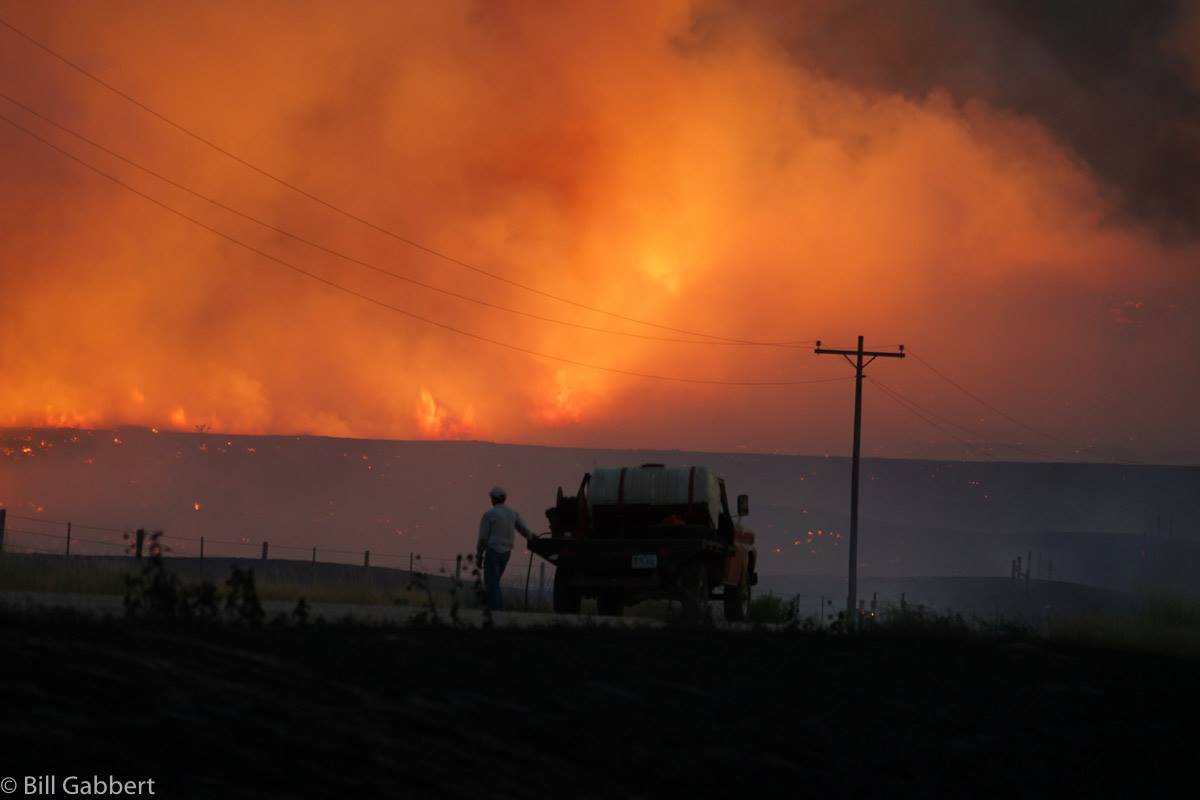
First, be aware that failure to control or report dangerous fire is a Class 1 Misdemeanor while Reckless burning or exploding is a Class 4 felony. These charges can be applied when fire or explosions are endangering life or a substantial amount of property. You may also be held financially responsible for any fire suppression costs if a fire becomes out of control.
SDCL 22-33-9.4. Failure to control or report dangerous fire–Misdemeanor.
SDCL 22-33-9.3. Reckless burning or exploding–Felony.
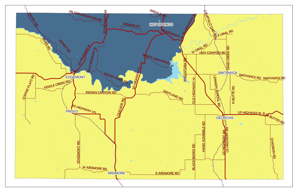
Black Hills Fire Protection District
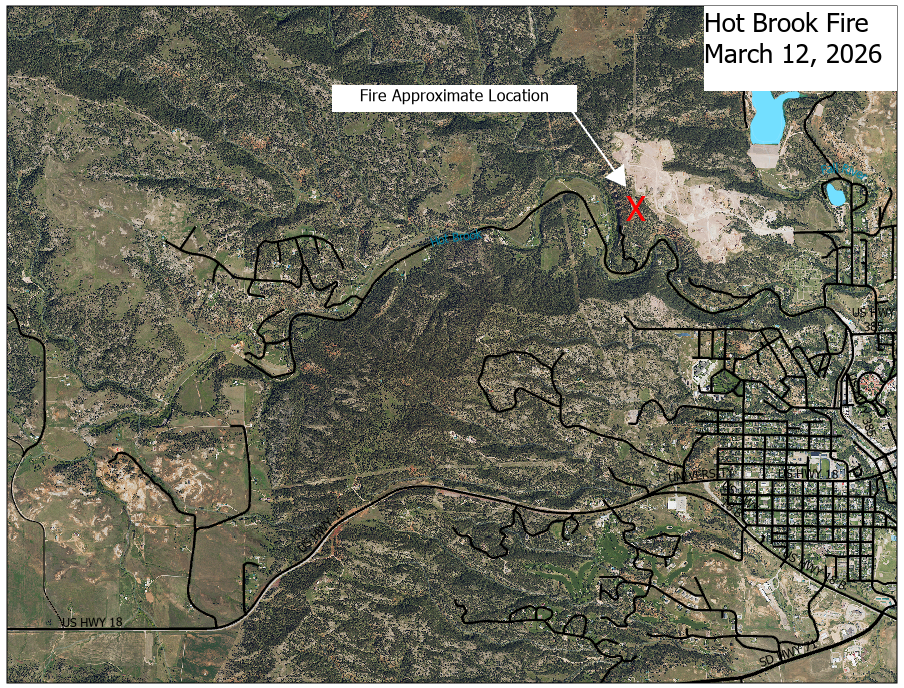
In Fall River County the Black Hills Fire Protection District is land NORTH of the Cheyenne River and WEST of SD Highway 79. This area is defined by South Dakota Codified Law 34-35-15.
Burning within the Black Hills Fire Protection District is governed by the rules in Administrative Rule chapter 61:33:01.
The dark gray area on the map below is the Black Hills Fire Protection District within Fall River County. Currently there are no fires allowed in this area outside of commercial campgrounds. See administrative rule 61:33:01:07 for campfire regulations for commercial campgrounds.
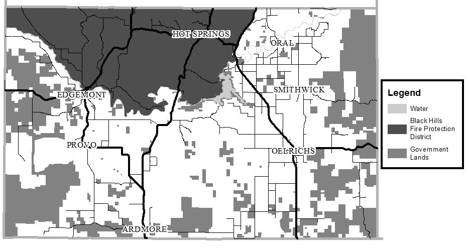
Fall River County
Fall River County passed a burn ban on Thursday, May 7th, 2026. This ban applies to areas outside the municipalities and Black Hills Fire Protection District. This is a ban on open burning and fireworks except for petroleum fueled or charcoal briquette fueled grills used for preparing food. This ban is in place when the National Weather Service has declared the South Dakota Grassland Fire Danger Index to be HIGH, VERY HIGH, or EXTREME.
South Dakota Grassland Fire Danger Index
Public Lands
Campfires are allowed only in designated campgrounds.
Check with specific campgrounds for further restrictions.
Hot Springs City limits
The City of Hot Springs requires that fires be confined to properly constructed fire pits or fireplaces. These are further restricted to propane fueled only when a Red Flag Warning is in effect. (For full list of fire rules and restrictions, as well as fire pit construction requirements, see Chapter 93 of the City of Hot Springs Ordinances.)
Edgemont City limits
Edgemont passed a fire ban on April 7th 2026. The ban is in place anytime the fire index is MODERATE, HIGH, VERY HIGH or EXTREME. (As published by the Rapid City National Weather Service.) See post from City of Edgemont for full information.